
Reconstruction in Milwaukie, OR: what we see locally
Milwaukie was founded in 1847 on the banks of the Willamette River and incorporated in 1903 — old enough to predate most of the Portland suburbs around it, and known locally as the Dogwood City of the West. Around 21,600 residents live in a compact Clackamas County city wedged between the Willamette River and the Portland city line, with the MAX Orange Line light rail (opened 2015) running through downtown and driving a wave of transit-corridor redevelopment.
Housing stock splits by era and distance from the river. Downtown and the older neighborhoods closest to the Willamette — historic farmhouses and Craftsman-era bungalows — date to the early 1900s, with original plumbing and wiring that shows up during restoration work. Ardenwald and Hector Campbell, further from downtown, are mostly post-war construction. Areas farther east carry 1970s–80s ranch-style homes on larger lots, and the downtown transit corridor has added new multifamily and townhome construction since the MAX line opened.
Two creeks define Milwaukie's water exposure in a way that's different from drier hillside suburbs nearby. Kellogg Creek — named for the water-powered grist mill built along it in the 1850s — runs through downtown to its confluence with the Willamette at Riverfront Park, and flood risk along its banks is a recognized constraint on nearby buildable land. Johnson Creek forms much of the city's northern edge (the Ardenwald-Johnson Creek area straddles the Milwaukie/Portland line) and is well known regionally for overflowing its banks during sustained winter storms.
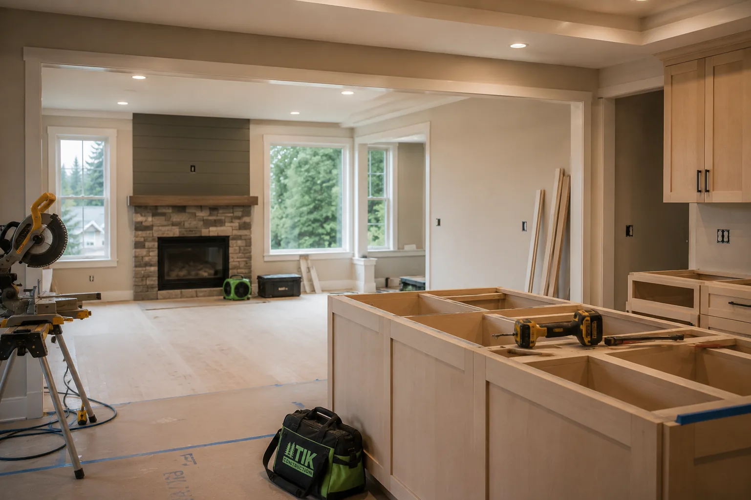
Typical reconstruction scenario in Milwaukie: Milwaukie reconstruction spans two distinct housing eras — careful trim and finish matching in the early-1900s farmhouses and bungalows near downtown, and straightforward standard-finish work in the 1970s–80s ranch homes further from the river.