
Storm Damage Restoration in Tualatin, OR: what we see locally
Tualatin sits on the Tualatin River south of Portland, mostly in Washington County with a small slice extending into Clackamas County. Around 27,000 residents live in a city that grew up around river-bottom farmland and later became a business and distribution hub along the I-5 corridor — corporate offices, warehouses, and light-industrial buildings cluster through the business park east of downtown.
Downtown Tualatin was rebuilt starting in the 1990s around Tualatin Commons, a constructed pond and mixed-use district that replaced an older warehouse area, so the city's most walkable residential blocks are newer construction rather than a historic core. Older single-family housing sits closer to the river in Browns Ferry and along the original farm-to-market roads; newer subdivisions expanded north toward Basalt Creek and west toward the Sagert neighborhood from the 1980s through the 2000s.
The Tualatin River runs along the city's southern and western edge, and river-adjacent lots see more seasonal groundwater and drainage exposure during Pacific Northwest wet-season rain than the newer subdivisions built farther from the floodplain. The city's business-park commercial base also means TIK's commercial-restoration work here skews toward office and light-industrial tenants rather than downtown retail.
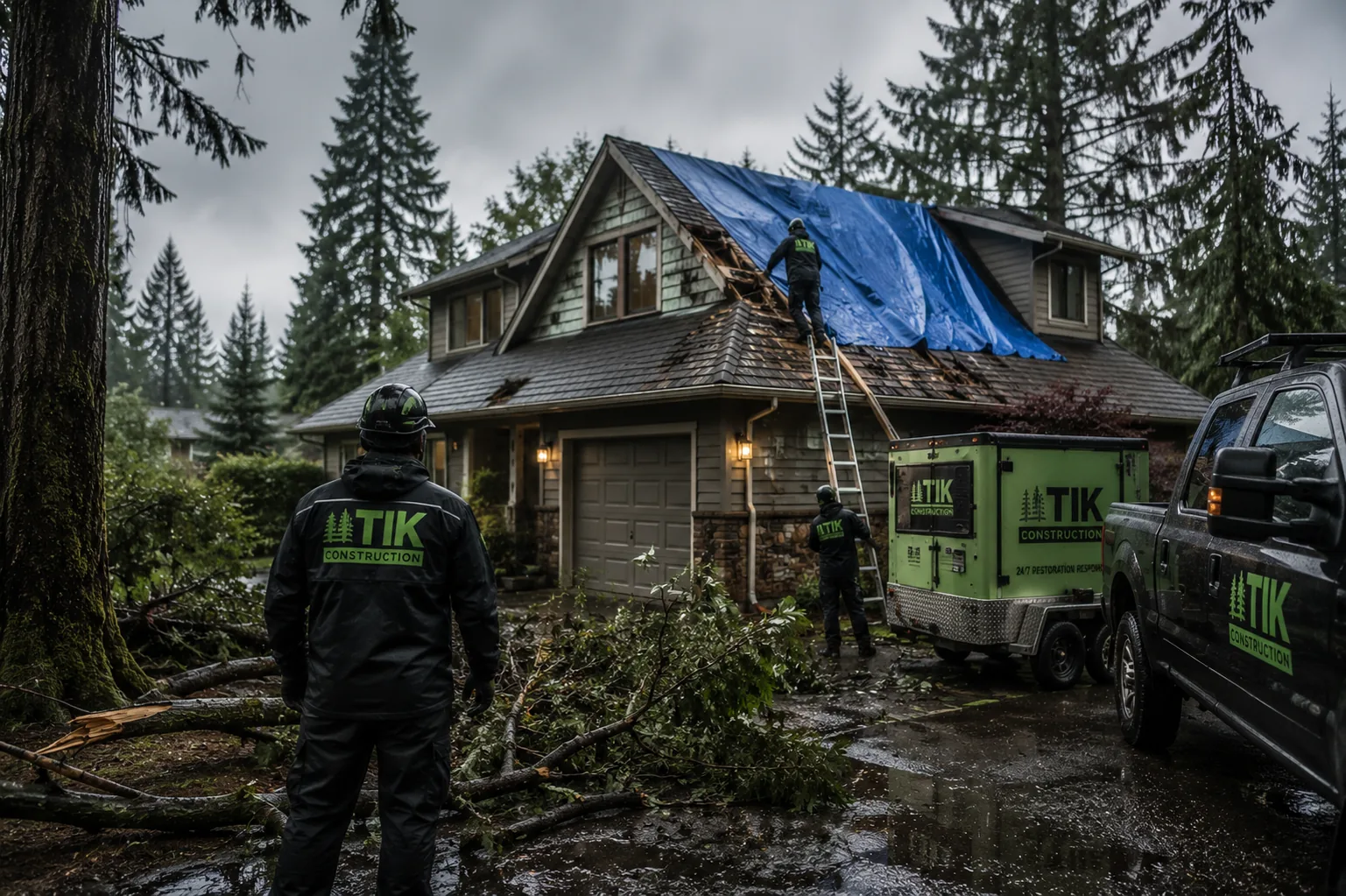
Typical storm damage restoration scenario in Tualatin: Tualatin storm calls cluster around wind-driven limb damage from mature trees in the older Browns Ferry and Sagert neighborhoods, plus river-adjacent drainage and stormwater intrusion during heavy rain events. Newer subdivisions farther from the river see more straightforward wind damage to roofs and siding.